Ward's Stone
Highest hill in the Forest of Bowland, England

Ward's Stone
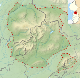
Location in the Forest of Bowland
Show map of the Forest of Bowland
Ward's Stone
Location in Lancashire
Show map of Lancashire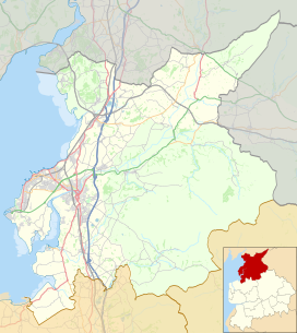
Ward's Stone
Location in the City of Lancaster district
Show map of the City of Lancaster districtWard's Stone is the highest hill in the Forest of Bowland, England.[1] Its flat top hides two trig points nearly a kilometre apart. The western trig point sits atop of large rocks, including one, the Ward's Stone, that is so large it attracts boulderers and climbers.
The path from Grit Fell is difficult: crossing Cabin Flat, it weaves its way across hidden pools of stagnant water, the presence of which is betrayed by a form of red grass. White markers supposedly point out the way, but more often result in leading the walker astray. The second trig points faces the empty vastness of the eastern Forest of Bowland, with the summits of Wolfhole Crag, White Hill and the distant Ingleborough breaking the horizon. A second path approaches Ward's Stone from Tarnbrook, where limited parking is available.
On the southern slope of this hill are Thorn Crag, Hell Crag and Long Crag, rocky outcroppings that are popular with climbers. Within Thorn Crag, a shallow cave system exists that leads to Hell Crag; this route was first traversed by Lancaster University Mountaineering Club.
References
- ^ "#GetOutside: do more in the British Outdoors". OS GetOutside. Retrieved 25 April 2023.
External links
- Computer generated summit panoramas Ward's Stone index

- v
- t
- e
Marilyns of Northern England
- The Cheviot
- Housedon Hill
- Long Crag
- Peel Fell
- Ros Hill
- Shillhope Law
- Sighty Crag
- Tosson Hill

- Blake Fell
- Dale Head
- Dent
- Grasmoor
- Great Gable
- Grisedale Pike
- High Stile
- Kirk Fell
- Lord's Seat
- Low Fell
- Mellbreak
- Pillar
- Robinson
- Seatallan
- Swinside
- Watch Hill
Southern Lakeland
and Durham
- Burnhope Seat
- Cold Fell
- Cross Fell
- Dufton Pike
- Mickle Fell
to the Humber
- Easington Fell
- Fair Snape Fell
- Longridge Fell
- Ward's Stone
- White Hill


