Vepsian Upland
Hilly region of the East European Plain in Russia
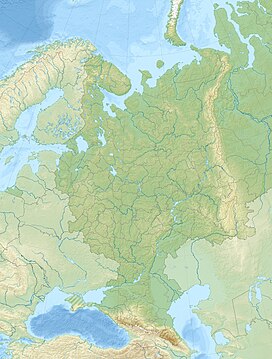

Location
Show map of European Russia
Vepsian Upland (Vologda Oblast)
Show map of Vologda Oblast
Vepsian Upland (Leningrad Oblast)
Show map of Leningrad OblastLeningrad Oblast,
Russia
The Vepsian Upland (Russian: Вепсовская возвышенность, Вепсская возвышенность; Veps: Vepsän ülüz) is a hilly region of the East European Plain located in Vologda Oblast and Leningrad Oblast, Russia. Lake Onega is located to the north.[3]
A 189,100 hectares (467,000 acres) forested sector at the western end of the hills is a protected area under the name Vepsian Forest (Veps: Vepsän mec; Russian: Вепсский лес). It was established in 1999.[4] Lake Shimozero, located in the eastern part of the Vepsian Upland, is also a protected area since 1978.[5]
Geography
The Vepsian hilly area is a northward extension of the Central Russian Upland, in the same manner as the Valdai Hills to the southeast. The south-west / northeast oriented Tikhvin Ridge connects the central part of the Valdai Hills to the Vepsian Upland in its north-eastern part. Together with the Tikhvin Ridge, part of the Valdai Hills, the Vepsian Upland separates the basins of the Baltic and the Caspian Seas.[1][6]
The upland stretches across Vytegorsky District, in the western part of Vologda Oblast, as well as the Podporozhsky, Boksitogorsky and Tikhvinsky districts of the eastern side of Leningrad Oblast.
The highest point is Malgora hill at 60°40′41″N 35°22′43″E / 60.67806°N 35.37861°E / 60.67806; 35.37861. With a height of 304 metres (997 ft) above sea level, it is also the highest point of Vologda Oblast. Gapselga, the highest point of Leningrad Oblast, reaching 291 metres (955 ft) above sea level, is also located in the Vepsian Upland.[3][7]
The main rivers of the hill area are the Shoksha, Oyat, Kapsha, Pasha, Tutoka and Yavosma.[8]
See also
- Highest points of Russian Federal subjects
- List of mountains and hills of Russia
- Vepsians § Geography
References
- ^ a b Вепсовская возвышенность / Great Soviet Encyclopedia: in 30 vols. / Ch. ed. A.M. Prokhorov. - 3rd ed. - M. Soviet Encyclopedia, 1969-1978
- ^ Peakbagger - Gora Malgora
- ^ a b c Google Earth
- ^ Природный парк «Вепсский лес»
- ^ Шимозерский
- ^ Тихвинская гряда / Great Soviet Encyclopedia: in 30 vols. / Ch. ed. A.M. Prokhorov. - 3rd ed. - M. Soviet Encyclopedia, 1969-1978
- ^ Toponymic Stories
- ^ Обзор: Реки Вепсовской возвышенности
External links
- Вепсский лес / Vepsian forest
- Veps Hills
- Aiding around Vepsia
- v
- t
- e


