Tong Tso
Salt lake in China
32°10′N 84°44′E / 32.167°N 84.733°E / 32.167; 84.733Tong Tso (Tibetan: སྟོང་མཚོ, Wylie: stong mtsho) or Dong Co (Chinese: 洞错; pinyin: Dòng Cuò) is a plateau lake in Gêrzê County, Tibet Autonomous Region. The name of lake means "Desolate Lake" in Standard Tibetan. The lake has a total area of about 87.7 square kilometers. Lying at an elevation of 4,396 metres, it is dotted with two islands.[1]
Maps
-
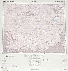
 Map including Tong Tso (labeled as T'UNG-KO HU (TANGKA TSHO)) (ATC, 1972)
 -
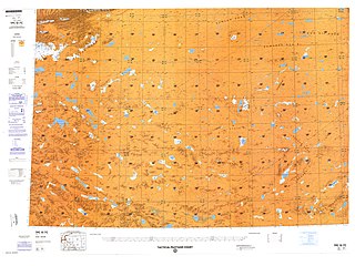
 Map including Tong Tso (labeled as T'ung-ko Hu) (DMA, 1975)
 -
 Map including Tong Tso (labeled as DONG CO) (DMA, 1990)


Notes
- ^ Sumin, Wang; Hongshen, Dou (1998). Lakes in China. Beijing: Science Press. p. 420. ISBN 7-03-006706-1.
- v
- t
- e
Ngari Prefecture, Tibet


