Seilandstuva

Seilandstuva
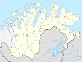
Location of the mountain
Show map of Finnmark
Seilandstuva
Seilandstuva (Norway)
Show map of NorwaySeilandstuva is the highest mountain on the island of Seiland in Finnmark county, Norway. The 1,078-metre (3,537 ft) tall mountain lies on the border of Alta Municipality and Hammerfest Municipality, and it is inside Seiland National Park.[2] The Seilandsjøkelen glacier lies about 5 kilometres (3.1 mi) southeast of the mountain.
Name
The last element is the finite form of tuve which means "tuft of grass" or "tussock" and the first part is referring to the island on which it is located.
References
- v
- t
- e


