Oksskolten
Mountain in Hemnes, Norway

Oksskolten
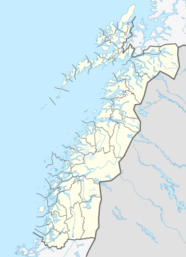
Location of the mountain
Show map of Nordland
Oksskolten
Oksskolten (Norway)
Show map of Norway#8 in Norway by prominence
Oksskolten (lit. Bulls Head) is a mountain in the municipality of Hemnes in Nordland County, Norway. At 1,916-metre (6,286 ft) tall, it is the highest point in Nordland county, the highest in Northern Norway, and has Norway's eighth largest primary factor. The mountain lies just south of the lake Gresvatnet in the Okstindan mountain range east of the village of Korgen and north of the lake Røssvatnet.
The first recorded climb was by Peder Stordal in 1883. In order to get to the summit, climbers must cross the glacier to the north. The large Okstindbreen glacier lies to the west of the mountain.[2]
Gallery
-
 Height profile of Oksskolten
 -
 Oksskolten to the left
 -
 View of the Okstindan mountains


See also
References
- ^ "Oksskolten, Hemnes (Nordland)" (in Norwegian). yr.no. Retrieved 2018-06-17.
- ^ Store norske leksikon. "Oksskolten" (in Norwegian). Retrieved 2011-12-02.
- v
- t
- e


