Lowden-Miller State Forest
Forest in Ogle County, Illinois United States
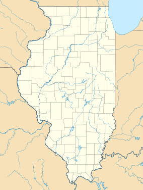

Location in Illinois
Show map of Illinois
Location in United States
Show map of the United StatesLowden-Miller State Forest is a conservation area on 2,291 acres (927 ha) in Ogle County, Illinois, United States.[1] The state acquired a 1,186-acre (480 ha) parcel of land for the forest in 1992, and the remainder of the land was acquired in 1993.
References
- ^ "Lowden-Miller - Parks". www2.illinois.gov. Retrieved 2021-12-24.
External links
- DNR Lowden-Miller State Forest site
- U.S. Geological Survey Map at the U.S. Geological Survey Map Website. Retrieved January 8th, 2023.
- v
- t
- e
| National Historic Sites and Parks and national monument | |
|---|---|
| National Forest |
|
| National Wildlife Refuges | |
| National Grassland | |
| National Trails/National Heritage Area | |
| National Natural Landmarks | |
| National Wild and Scenic Rivers | |
| Wetlands of international importance |
|
| County Districts |
|---|
 Category
- Chicago
- East St. Louis
- Illinois Department of Natural Resources
 Commons

41°57′41″N 89°22′2″W / 41.96139°N 89.36722°W / 41.96139; -89.36722
 | This Ogle County, Illinois location article is a stub. You can help Wikipedia by expanding it. |
- v
- t
- e
This article related to a protected area in Illinois is a stub. You can help Wikipedia by expanding it. |
- v
- t
- e


