Ketcherside Mountain
Summit in the American state of Missouri

Ketcherside Mountain
Iron County, Missouri, U.S.
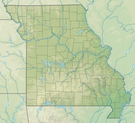
Ketcherside Mountain is a summit in Iron County in the U.S. state of Missouri.[2] The peak lies about 4+1⁄2 miles (7 km) southeast of Taum Sauk Mountain and about 6+1⁄2 miles (10 km) south-southwest of Ironton. Hogan and Hogan Mountain lie to the west-southwest.[3]
Ketcherside Mountain has the name of the local Ketcherside (or Catcherside) family.[4]
References
- ^ Ironton, Missouri, 7.5 Minute Topographic Quadrangle, USGS, 1968
- ^ a b "Ketcherside Mountain". Geographic Names Information System. United States Geological Survey, United States Department of the Interior. Retrieved 2017-06-23.
- ^ Missouri Atlas & Gazetteer, DeLorme, 1998, First edition, p. 56 ISBN 0-89933-224-2
- ^ "Iron County Place Names, 1928–1945 (archived)". The State Historical Society of Missouri. Archived from the original on 24 June 2016. Retrieved 12 October 2016.
{{cite web}}: CS1 maint: bot: original URL status unknown (link)
- v
- t
- e
| St. Francois Mountains |
|
|---|---|
| Other peaks in and around the St. Francois of SE Missouri |
|
| Other peaks in the Ozarks |
|
- Bird Hill
- Blue Mound
- Bowler Hill
- Bone Hill
- Jackson Hill
- Monkey Mountain
- Wagon Knob
See also: U.S. Interior Highlands
 | This Iron County, Missouri state location article is a stub. You can help Wikipedia by expanding it. |
- v
- t
- e


