Chacana

Chacana
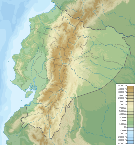
Ecuador
Chacana is a large 32-km long - 18–24 km wide caldera that has erupted in historical times. It forms one of the largest rhyolite centers in the Northern Andes with major eruptions over the past 240,000, 180,00, and 160,000 years ago and has had andesitic-rhyolitic volcanism.[1] With dacitic lava flows continuing into historical times. Lava domes were also constructed in the Holocene. Chacana is located 30 km from Quito and the large Antisana volcano is constructed to the southeast.
Eruptions
Eruptions in the past 10,000 years have been limited to small lava flows originating from Fissures.
- 1760 Eruption: A small (VEI 0) Eruption, the first in historical time, came from a flank vent on the SW of the Caldera which caused some damage.
- 1773 Eruption: Another small eruption took place in 1773. It came from a fissure in the South part of the caldera.
See also
 Geography portal
 South America portal
 Ecuador portal
 Mountains portal
 Volcanoes portal


- Lists of volcanoes
References
- ^ a b c "Chacana". Global Volcanism Program. Smithsonian Institution. Retrieved 2012-01-09.
External links
- Volcano Discovery - Chacana
| Authority control databases: Geographic |
|
|---|
- v
- t
- e
 | This volcanology article is a stub. You can help Wikipedia by expanding it. |
- v
- t
- e


