Byron Heights

Byron Heights
Falkland Islands, South Atlantic Ocean
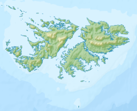
Byron Heights is a mountain rising to 497 m (1,630 ft)[1] at the northwest extremity of West Falkland, Falkland Islands in the South Atlantic. It is situated 11.65 km (7.24 mi) southeast of Hope Point.
The mountain's top is occupied by RRH Byron Heights (Remote Radar Head Byron Heights) of the British Forces South Atlantic Islands (BFSAI),[2] part of an early warning and airspace control network including also RRH Mount Alice on West Falkland and RRH Mount Kent on East Falkland.
References
- v
- t
- e
Falkland Islands
Capital: Port Stanley
- 1770 Falklands crisis
- 1833 British Reassertion
- Hope Place
- Port Egmont
- Puerto Soledad
- 1982 invasion
- Falklands War
- Chief Executive
- Constitution
- Falkland Islands pound (currency)
- Government House
- Governor
- Legislative Assembly
- Representative Office, London
- Sovereignty dispute
- Falkland Islands Company
- Falkland Islands Development Corporation
- Falkland Islands General Employees Union
- Falkland Landholdings Corporation
- Falklands Oil and Gas
| Culture |
|
|---|---|
| Sport | |
(*) Sixth-formers attend Peter Symonds College in England and national diploma/NVQ students attend Chichester College in England
 | This Falkland Islands location article is a stub. You can help Wikipedia by expanding it. |
- v
- t
- e


