Béchir
Village in Béchar Province, Algeria
29°55′55″N 1°57′43″W / 29.93194°N 1.96194°W / 29.93194; -1.96194 Algeria
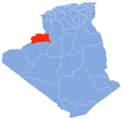
Béchir is a village in the commune of Tamtert,[1] in El Ouata District, Béchar Province, Algeria.[2] The village lies on the Oued Saoura 7 kilometres (4.3 mi) northwest of Tamtert and 29 kilometres (18 mi) southeast of Béni Abbès.
References
- ^ a b "Décret n° 84–365, fixant la composition, la consistance et les limites territoriale des communes. Wilaya d'El Oued" (PDF) (in French). Journal officiel de la République Algérienne. 19 December 1984. p. 1490. Archived from the original (PDF) on 31 July 2011. Retrieved 2 March 2013.
- ^ "Bechir, Algeria". Google Maps. Retrieved 14 March 2013.
Neighbouring towns and cities
Places adjacent to Béchir | |
|---|---|


- v
- t
- e
Capital: Béchar
 | This article about a location in Béchar Province is a stub. You can help Wikipedia by expanding it. |
- v
- t
- e


